Salt Report
Reel in the Adventure: Rockfish, Halibut & Dungeness Crab Fishing in Trinidad, CA
Book Your Charter with Lost Coast Sports Fishing Today Tucked along the rugged northern California coastline lies a hidden gem
Book Your Charter with Lost Coast Sports Fishing Today Tucked along the rugged northern California coastline lies a hidden gem

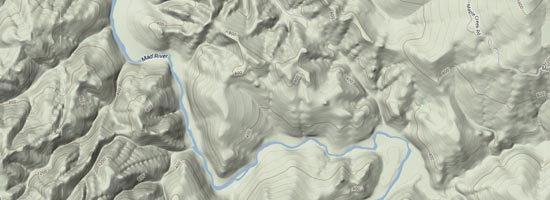
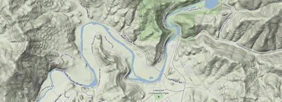
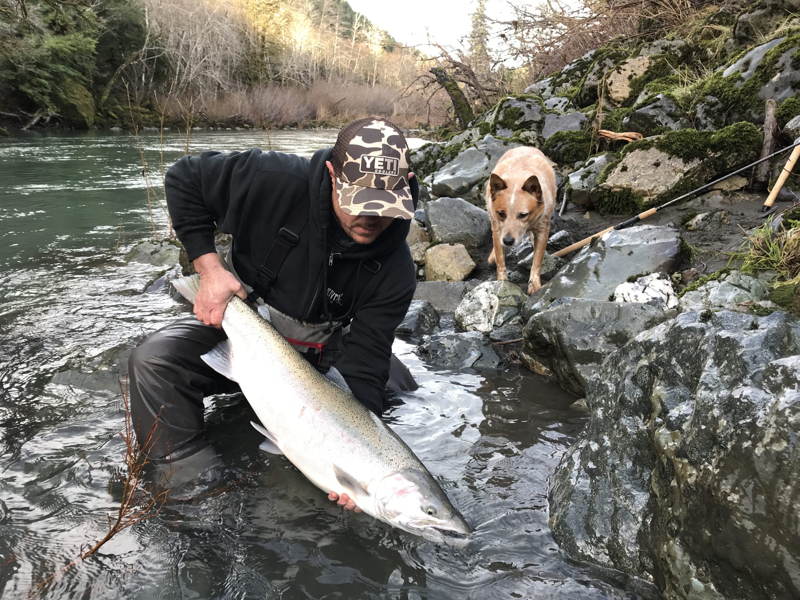
If you’ve been following the winter steelhead season, you know that conditions can change fast—but for those who put in

The New Year is off to an incredible start for anglers! If you’re looking for an unforgettable steelhead fishing adventure,

The start to the season for has been a little slow due to the north westerly winds as usual this

We are taking reservations for the new 2024 ocean season. We will be fishing out of Eureka and Trinidad ports
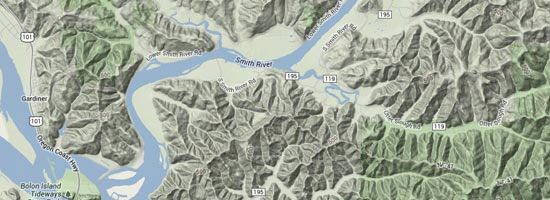
Finally we have been able to fish the Chetco river the past 10 days. We have had decent to average